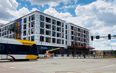
in Richfield.
Freeways and highways aren’t the only urban roads with traffic congestion, even though traffic management strategies have been largely directed toward improving traffic flows there. So, U of M researchers have taken to city streets to reduce congestion in an innovative—albeit roundabout—way.
“There’s been a lot of research focused on controlling congestion on major highways and freeways, but there’s relatively less when it comes to looking at controlling traffic on urban arterials,” says Ted Morris, a research engineer with the Department of Computer Science. “It’s a very different picture when you get into urban arterials and the traffic behaviors going on there, because of the dynamics of route choice, pedestrian interactions, and other factors.”
Morris is part of a research team that aims to create a framework for testing and evaluating new urban traffic sensing and control strategies for arterial networks. The goal is to balance safety and efficiency for all users—especially in places where new types of urban transportation facilities are planned in the next few years.

The team is using the 66th Street corridor in Richfield as a test bed for its research. The city, along with Hennepin County, is in the process of converting a series of signalized intersections along the route to roundabouts over the next few years. The roundabout designs also incorporate new facilities for pedestrians, bikes, and bus transit as part of a multimodal approach.
Initially, the researchers sought to create a larger network of interconnected sensors and a live test bed, Morris says. But funding limitations kept the project area to approximately 10 miles of arterial roads, a portion of which will be supported by a network of interconnected traffic sensors. The research team is instrumenting major intersections along 66th Street with a reliable, low-cost, high-resolution camera mounted on a center pole and supporting electronics as the intersections are being reconstructed.
“You can zoom in pretty closely to capture all the different movements and events that we need to use for measurement and detection,” Morris adds. “The key to this, to really make it reliable, is you need to very carefully quantify gap acceptance and how that varies in time and time of day. You also need to know how pedestrian activities interact with the traffic flow.”
The use of roundabouts has grown in the region because they cost less to build and maintain than signalized intersections, they meet the latest design standards, and they improve safety by reducing traffic conflicts. But predicting the capacity of roundabouts can be especially challenging when factoring in pedestrian traffic, uneven traffic origin-destination flow, heavy vehicle volumes, and approach vehicle gap-selection timing.
In addition to creating a sensor network to obtain real-time vehicle and pedestrian data to help control traffic and keep it flowing smoothly, the researchers also are developing a traffic simulation model that includes almost all of Richfield—more than 140 signalized intersections covering 21 square miles, including the arterials. The simulation model will be used to develop and test traffic control strategies under different scenarios. Minnesota Traffic Observatory director John Hourdos is leading that effort.
This research and the field deployment system are funded through a collaborative grant from the National Science Foundation Cyber Physical Systems program. SRF Consulting is the industrial partner to help design the sensor network and evaluate the system.